





























UK Weather Warning: Thunderstorms Hit England Today
The Met Office has issued a yellow weather warning as heavy, thundery rain moves across England and Wales today, with flooding and travel disruption possible.

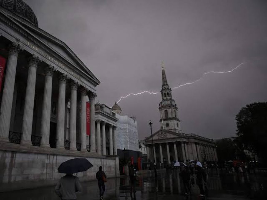
Thundery Rain Set to Sweep the Country
Millions of people across England and Wales are being warned to prepare for disruptive weather today, as the Met Office confirmed a yellow warning remains in force covering large parts of the country. A band of heavy and thundery rain is expected to move slowly northwards across England and Wales throughout the day, reaching Northern Ireland and southern Scotland by the afternoon, with sunny spells following but also scattered showers elsewhere.
Forecasters have described conditions as feeling notably warm and humid, particularly across southern regions, even as the rain and thunderstorms move through — a combination that often produces the kind of intense, short-duration downpours capable of catching communities off guard.
How Much Rain Is Expected
The scale of potential rainfall has prompted particular concern among forecasters and emergency planners. Accumulations of 20 to 30 millimetres within a single hour are considered possible in some areas, with totals of 30 to 40 millimetres expected fairly widely and as much as 50 millimetres possible over a 12-hour period in the worst-affected locations.
There is also a small chance that some places, particularly on east-facing high ground, could see more than 50 millimetres fall within just three hours, and in excess of 75 millimetres across a 12-hour window. Lightning and hailstones measuring one to two centimetres have also been flagged as additional hazards accompanying the heaviest storm cells.
Which Areas Are Affected
The warning currently covers a broad swathe of southern and eastern England, including Essex, Hertfordshire, Southend-on-Sea, Thurrock, Bracknell Forest, Brighton and Hove, Buckinghamshire, East Sussex, Greater London, Hampshire, Kent, Medway, Oxfordshire, Portsmouth, Reading and Slough, among other areas. The Met Office noted that the warning zone had recently been expanded eastward, while the anticipated start time for the most severe conditions has also been brought forward, reflecting how quickly weather systems of this kind can develop and shift. Met Office
Officially, forecasters have classified this event as having a low likelihood but medium potential impact, meaning that while not every location within the warning area will necessarily experience the most extreme rainfall totals, the consequences where storms do hit hardest could be significant.
What the Disruption Could Look Like
Given the volume of rain forecast to fall in short bursts, surface water flooding is the primary concern for many communities, particularly in urban areas where drainage systems can struggle to cope with sudden, intense downpours. Road users have been urged to take extra care, with the possibility of standing water making driving conditions hazardous and, in the worst-affected spots, some road closures cannot be ruled out.
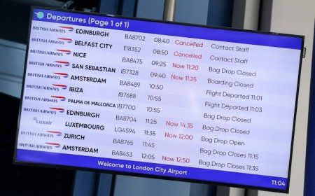
Rail and other public transport services could also see localised delays where flooding or lightning strikes affect infrastructure, echoing disruption seen during previous thundery breakdowns in recent summers. Outdoor events, sports fixtures and travel plans across the affected regions may need to be adjusted at short notice as the band of rain tracks northward through the day.
Context: A Summer of Mixed Extremes
Today's warning caps off a summer that has swung between notably warm, dry spells and sudden bursts of severe weather — a pattern increasingly recognised by meteorologists as consistent with a changing climate, even if any single event cannot be attributed to climate change alone. Earlier in the year, parts of the UK experienced an unusually early and intense heatwave, with temperatures reaching into the low 30s Celsius in some southern locations as far back as May.
The Met Office has urged the public to stay weather-aware over the coming hours, monitor official updates as the warning area may continue to be refined, and take sensible precautions such as avoiding unnecessary travel through areas prone to standing water. As the rain band continues its slow march northward, forecasters say conditions should gradually improve from the south through the evening, though the risk of localised thunderstorms is expected to persist into tomorrow.
Next Article
What's Your Reaction?
 Like
0
Like
0
 Dislike
0
Dislike
0
 Love
0
Love
0
 Funny
0
Funny
0
 Angry
0
Angry
0
 Sad
0
Sad
0
 Wow
0
Wow
0