





























UK Weather Today: Heatwave Ends in Thunderstorms
The Met Office says today marks a thundery end to the UK's latest heatwave, with hot conditions in the southeast giving way to storms and heavy downpours.

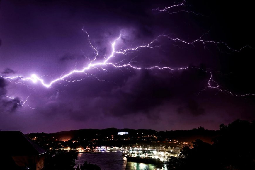
From Blistering Heat to Thunder
After a week in which parts of southeast England came close to 36C, the Met Office says today brings a thundery close to the UK's latest heatwave. The forecast for early afternoon describes hot, sunny conditions persisting in the southeast, while increasingly humid air moves across Wales and western and northern England, bringing variable cloud and the likelihood of afternoon thunderstorms.
For Northern Ireland and Scotland, the picture is different again: early heavy and thundery rain is expected to clear through the day, leaving behind fresher, if rather cloudy, conditions. Forecasters say those storms will push eastwards overnight, with the potential for heavy downpours across eastern England as the system moves through. Even as the storms arrive, the southeast is expected to remain warm and muggy overnight, in contrast to fresher conditions likely elsewhere.
How We Got Here
This latest spell of heat built quickly. The Met Office and the UK Health Security Agency issued widespread heat-health alerts on 7 August, as forecasters identified high pressure setting up a southerly flow of hot air from continental Europe. That followed what has been described as an exceptionally dry start to the month, priming much of England and Wales for rapid warming over the following days.
Temperatures climbed steadily through the weekend and into the following week, with the Met Office initially projecting highs in the low 30s before revising its outlook upward. By midweek, meteorologists were forecasting a peak of around 36C in parts of East Anglia and southeast England — among the hottest readings of the summer so far — while a persistent north-south split kept Scotland and Northern Ireland notably cooler and wetter throughout.
A Summer Already Marked by Extremes
This is not the first significant heat event of 2026. In late May, a record-breaking heatwave pushed the mercury to 35.1C at Kew Gardens in London — a new record for the month that broke a mark set in 1922 by a full two degrees — and was linked to at least 15 deaths in water-related incidents nationwide. That episode was itself part of a wider heatwave across Europe, with Portugal recording temperatures above 40C at the peak of the event.
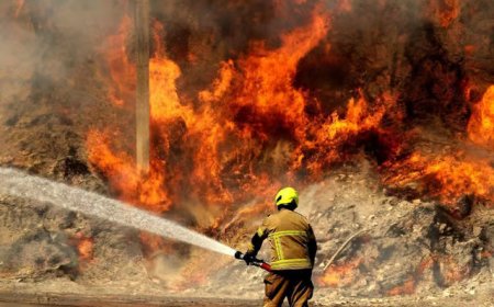
The pattern has continued through the summer, with forecasters noting in early July that temperatures had already exceeded 40C in the UK for the first time this year during a separate spell of extreme heat — conditions that fuelled wildfires in parts of the country and forced several water companies to introduce hosepipe bans.
Drought Concerns Persist
Even as today's storms bring welcome rain to some areas, officials have cautioned that a single day of downpours is unlikely to meaningfully ease the drought conditions that have built up across southern England over recent months. Water companies and regional authorities have repeatedly warned that prolonged dry spells, compounded by successive heatwaves, are placing sustained pressure on reservoirs and groundwater levels in the region.
The UK Health Security Agency's heat-health alerts, in place through the recent hot spell, were designed to flag the likely impact on health and social care services, with officials repeating standard guidance: avoid exercise and direct sun exposure between 11am and 3pm, stay hydrated, and keep curtains closed in rooms that face the sun during the hottest parts of the day.
What Comes Next
With today's storms expected to clear through overnight and into the weekend, attention will turn to whether the unsettled pattern persists or whether high pressure reasserts itself in the days ahead. Met Office forecasters have suggested that any return to hot, settled weather in the immediate aftermath is unlikely to match the intensity of the heat seen earlier this week, though longer-range confidence remains limited this far out.
For now, the immediate story is a fairly typical late-summer transition: a build-up of heat and humidity resolving in dramatic, and at times disruptive, thundery weather — a pattern residents in the south and east should be prepared for through the rest of today and into the evening.
What's Your Reaction?
 Like
0
Like
0
 Dislike
0
Dislike
0
 Love
0
Love
0
 Funny
0
Funny
0
 Angry
0
Angry
0
 Sad
0
Sad
0
 Wow
0
Wow
0